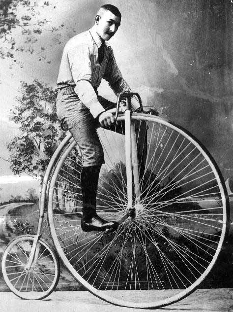
Pole kaua aega ühegi rumalusega hakkama saanud, seega on seoses Hanno järjest süveneva haigusega, kus tema keha tagupool ning rattasadul hakkavad üheks kasvama plaanis kahel rattal (ning ka rongi kaasabil) hulluks minna:)
Sihtkoht Läti ja eesmärgiks igasugused huvitavad kohad ning jalgsi läbida selline asi nagu Amata trail.
Selgituseks, et tegemist on umbes 30 geopeituse aardega mis mõnusasti järjest "skoorimist" võimaldavad (koos igasuguste huvitavate takistustega...).
Inglise keelne kirjeldus GC lehel:
The Location:
The Amata trail passes along the right bank of the Amata river from the
bridge on the Vidzeme highway (A2) in Melturi, by Kārļi and Zvartes Rock
to the tourist stop of Amata near the Veclaucu bridge on the road from
Karli to Ligatne. From the trail can be seen the Amata river, which
flows through the old valley with steep sandstone and dolomite cliffs up
to 45 metres in height; it is one of the deepest and oldest valleys of
Vidzeme. Amata is one of the fastest flowing, cleanest influents of the
Gauja river and it is full of rapids, the word “amada” in libiesu
language means rapid. The trail is a wonderful place for walking and
immersing yourself in the nature. The total length of the trail is 12
km, approximately 8 hour walk from Veclaucu bridge to Melturu bridge.
IMPORTANT:
Some sections of the trail might be dangerous, especially after it had rained (vahemärkus: JESSSS!!!!) – please be very careful and watch your step!
The trail is not meant for bicycle rides! (ehk siis rattaga me sinna ei saa)
Ehk on see sissejuhatus mingile suuremale lollusele? Eks näis:) Praegu sätime peas plaane ja Hanno kogub rattaga kilomeetreid.. Samal ajal mina elan talle kaasa ja loodan et suudan profisportlaste tempos sõita.

No comments:
Post a Comment